Phoenix Feather Books & Curios
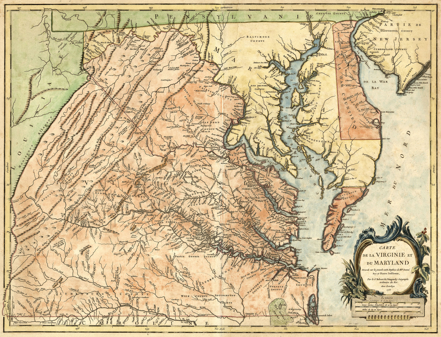
1755 Map of Virginia and Maryland (Print)
1755 Map of Virginia and Maryland (Print)
Regular price
$22.00 USD
Regular price
Sale price
$22.00 USD
Unit price
per
Shipping calculated at checkout.
Couldn't load pickup availability
The "Carte de la Virginie et du Maryland" map was "Drawn on the great English Map by Mrs. Josue Fry and Pierre Jefferson, by Sr. Robert de Vaugondy, the King's ordinary geographer, with privilege." This fine laminated print will come 30" wide by 23" high.


